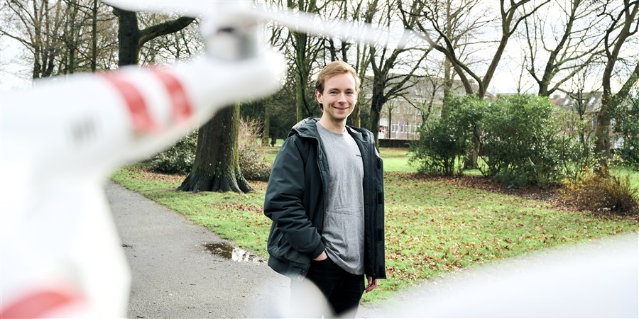
Innovative research into drone flight paths using CBS data
Hackathon
The idea for the study came about in May 2021, during the HIGH-5 hackathon. This event brings together teams from different backgrounds for a limited time to generate solutions to specific social questions. ‘During that hackathon,’ Boersma recalls, ‘employees from bodies such as the Land Registry Office, the municipality of The Hague, Rotterdam-The Hague International Airport, the province of Zuid-Holland and CBS tackled the question of how best to integrate drones into our living environment.’ Boersma became involved following a discussion with Barteld Braaksma, Innovation Manager at CBS. ‘Drone flight paths seemed like an obvious follow-up to the hackathon. I conducted the research at the request of CBS and the Land Registry Office, as part of my studies at Utrecht University.’A greater role for drones
Braaksma cites several reasons why Boersma was asked to conduct the research: ‘In the first place, CBS is tasked with reflecting trends in society, and drones are expected to play an ever-greater role in society in a variety of ways. That makes it relevant to build a clearer idea of where drones are deployed, and CBS has already been commissioned by the European Commission and Eurostat to create an initial picture of the European drone industry. Another reason is that policy-makers at various levels are already puzzling over how best to deploy drones in ‘traffic’. CBS data about population density and land use can play a key role in solving that puzzle – not to mention that this innovative research is a great fit for our long-term collaboration with the Land Registry Office.’Drone and knowledge centre
Where did Boersma decide to start? ‘I studied a lot of literature and legislation; there’s a definite lack of clarity in the legislative arena. I also spoke to as many experts as I could, such as the programme director of Space53. This testing and knowledge centre for drones is located at the former military airbase at Twente and is the Netherlands’ first-ever drone testing location. All kinds of businesses, both Dutch and international companies, can carry out a range of tests there using drones.’ Interviews with around 20 experts from bodies including the Dutch Directorate for Public Works and Water Management and the municipality of Enschede produced a clear picture of developments surrounding the use of drones. ‘Enschede is aiming to become the drone capital of Europe and turn the use of drones into a realistic scenario.’
Manifesto
The portfolio of Wouter Asveld, the municipality of Enschede’s Economics Policy Officer, includes the topic of drones. ‘We have been working with the Space53 drone cluster since 2015 to expand, explore and promote the use of drones,’ Asveld explains. ‘We’ve lobbied for better legislation; as it stands, Dutch law is hindering the budding drone sector. With Space53, we’ve also created testing capacity for drones at the Twente airbase, and we’re looking into how we can and should embed drone technology in society. To that end, during Amsterdam Drone Week in December 2020 we launched a manifesto calling on municipalities to engage with drone-related developments. Local authorities are having to deal with a new public domain: low-altitude airspace. This new domain promises opportunities, but it also entails risks that municipalities need to be prepared for.’Challenges
The results of Boersma’s research led to the conclusion that the increased use of drones produces certain social and technological challenges. In the social sphere these include issues relating to privacy, security and noise nuisance, while the fact that legislation is currently not robust enough to cover the large-scale use of drones presents a technical challenge. ‘I wanted to support municipal policy officers, so I came up with a strategy to use Multi-Criteria Analysis to rank potential policy solutions based on criteria and priorities,’ says Boersma. ‘The strategy uses three scenarios.’ One of the advantages of a Multi-Criteria Analysis strategy, according to Boersma, is its flexibility. ‘The user – in this case the policy officer – can easily adjust parameters to see how a change in priorities could affect the desired route. I also carried out a sensitivity analysis that explores the level of route difference if the parameters change.’Scenarios
Boersma developed three scenarios: ‘The first scenario prioritises nature and recreation. The second stresses the importance of residential areas and population density. Scenario 3 focuses on the current infrastructure, such as roads, railways and canals. I developed the scenarios using datasets from the Land Registry Office, including their Base Registration of Large Scale Topography. I used a lot of CBS land use data too, which give a very clear picture of things like the location of residential and recreational areas. CBS’ demographic data about population density were also very valuable to my research.’Key conclusion
So what is Boersma’s most significant conclusion? Boersma: ‘This research has shown that the Multi-Criteria Analysis is a useful tool, although the three scenarios did not generate very different drone routes. The length of the road is an important criterion in all three scenarios, so it would be interesting to do a follow-up study using a calculation method that assigns less importance to road length in determining the ideal drone route for a given scenario.’ There is definitely scope for such a follow-up study, as time pressures meant that Boersma was unable to investigate different application situations or create proper animations.Valuable
Innovation Manager Braaksma is very positive about Boersma’s research. ‘This is an example of a whole series of student internships at CBS that bring together a range of different sources: data and knowledge from both CBS and our partners such as the Land Registry. We’re working together on a social issue.’ Policy Officer Asveld from the municipality of Enschede is also impressed with Boersma’s research, and with the tool he has developed to support local authorities, calling it ‘a very valuable addition to the complex world of aviation, and it’s also very important to find a smart way to involve municipalities. Enschede is currently preparing for the Spatial Vision, which will incorporate the results of this research. We hope to interest other municipalities in this topic as well. Amsterdam Drone Week, from 29-31 March 2022, brought together all kinds of actors from the international drone world, and we hope that our new manifesto will help us move forwards together.’Would you like to know more about Foeke Boersma’s research? If so, please send an email to foekeboersma@hotmail.com.
Related items
- Website - Internships
- CBS privacy regulations - Privacy
- Website - RIVM - Severe annoyance and sleep disturbance. Monitoring data OBW (Perception of the Home Environment Study) 2019