Built-up area expanding at the cost of farmland
Land characteristics
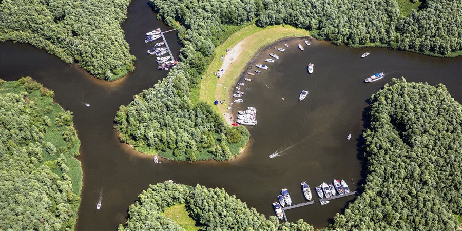
In terms of ecological characteristics, land in the Netherlands can be divided into various ecosystem types. Nearly half (49 percent) of the surface area was in use for agriculture in 2020, mainly for meadowland and arable fields. Built-up areas account for nearly 24 percent of the surface area. These include terrain that is largely built on or paved – areas with buildings, industrial estates, roads and other infrastructure – but also public green space such as parks. Sixteen percent of the land area falls in the category nature and semi-nature. These include protected heathland and woodland in the Natura2000 areas, as well as hedgerows, which are often managed under nature conservation schemes, and production forests and wooded areas with no conservation status. Lastly, freshwater and saltwater and the coastal strip account for 11 percent of the total surface area.
Effects of changes in land use
Changes in land use all affect well-being, for example because they impact ecosystems that remove CO2 or provide opportunities for recreation. The size of these effects has not yet been quantified but from next year this will be incorporated in CBS well-being studies.
Farmland reduction differs between provinces
The appearance of the Dutch landscape has changed between 2013 and 2020: 244 square kilometres of agricultural land and 53 square kilometres of wooded areas disappeared, while the area of nature and water increased by 44 square kilometres. The differences in conversion of farmland across the country are large. The area of agriculture decreased by most in Noord-Brabant (–58 square kilometres) and Gelderland (–38 square kilometres). In all provinces, except Zeeland, the loss of agricultural land was mainly caused by the increase in built-up areas, and to a lesser extent in nature areas.
Increasing pressure on living environment
Space will be in increasing demand in the coming years, to build one million homes, to install wind turbines and solar panels, but also for the expansion of Natuurnetwerk Nederland and the realisation of the forest strategy.
The expansion of Natuurnetwerk Nederland (approximately another 350 square kilometres), and the planting of trees under the forest strategy (of which 190 square kilometres outside the Natuurnetwerk) are to be realised before 2027 and 2030 respectively. These figures demonstrate that the living environment will change rapidly.
Sources
Related items
- Publication - Ecosystems and well-being (executive summary)
- Publication - Monitor of Well-being 2022
- Privacy - CBS Privacy regulations